Google Maps is the online mapping site for the behemoth known as Google. A year old Hitwise survey ranks Google Maps as third in most used and private research I have been involved with seems to confirm this.
User Friendliness:
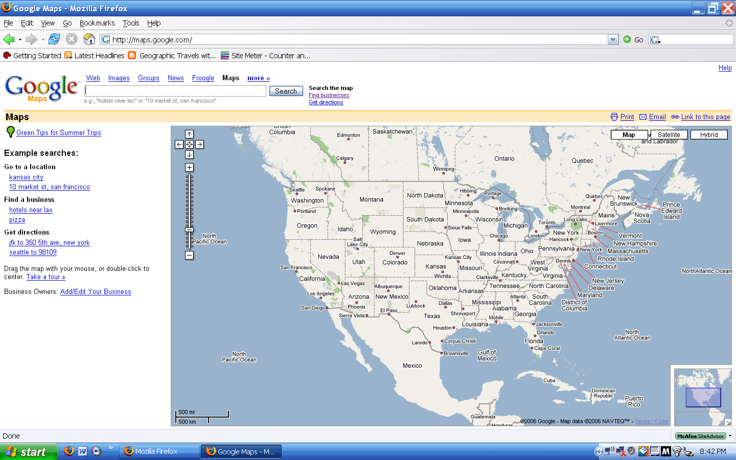
Google Maps is very user friendly. The search bar is what all Google users are used to. A super plus for having recommendations on places if Google Maps cannot identify what you are trying to find due to spelling or other errors. A find business option is available if one does not know the exact location.
Double clicking on the map will re-center the image. Zooming is handled by the zoom option on the side of the map.
There is no way to selective lasso an area one wants to examine. Also, there is no other way to zoom besides the zoom tool; the third-mouse button/wheel is not supported.
Driving Directions:
All the mapping sites will be subject to two tests. The first will be a short driving test from the National Geographic building to the
The short test results were okay. I question some of the roads it recommends. The answer will send the user on poorer roads and will take more time to reach the final destination. Also, Google Maps did not recognize Capitol Hill so I had to use the "find business" option to find a suitable substitute. The long test results also were good until the end. When one enters in
Map Quality and Quantity:
Google Maps has pretty much set what is standard for mapping sites. There is a road map view, satellite view which is actually satellite and some aerial photos, and then hybrid which mixes the first two.
Detail maps are available for most of North America,
The "satellite" image of earth is actually a mosaic of a bunch of photos and boy does it show. To quote a friend, the world looks "ugly." An alternative would be like NASA World Wind's artistic layer which switches over to real imagery at a certain zoom level.
A final flaw is in Google's quality standards. In many rural areas there are no high-definition images on Google Maps. There are high detail black-and-white Digital Orthophoto Quadrangles but Google only accepts color imagery.
Extras:
Google Maps is the base map for many mash-ups or neogeography sites like Platial. Besides that there is nothing. The true meat can be found in Google Earth but not online.
Summing Up:
Google Maps is a good mapping program in general. The integration of Google Technology really makes it stand out. There can be a lot more to add however without weighing it down. Last word: Good, not great, but good none the less.
No comments:
Post a Comment