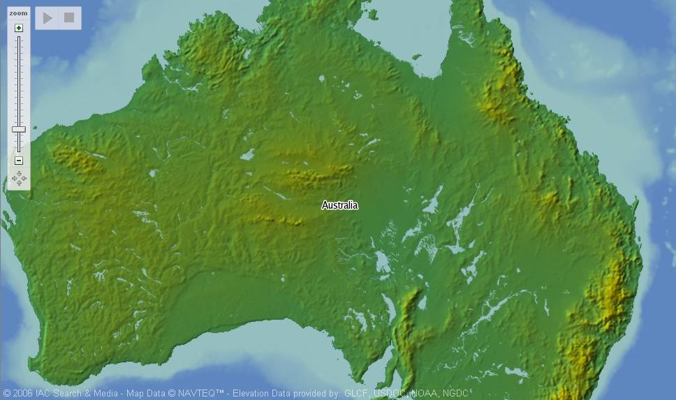
Geolabels is a online mapping site which is based off Google Maps. The basic purpose of Geolabels is to be an online gazetteer of cities and towns. The ability to easily search for and find names of locations world wide is nice but nothing too special. What makes Geolabels special is the ability to view the world in relief form. Google would be wise to pay attention to this new view. (Hat Tip: La Cartoteca and FreeGeo Tools)
P.S. (The relief view is sightly more detailed than Ask.com Maps' and Geolabels does not have the problem of showing every thing under sea level as underwater).
No comments:
Post a Comment