Pages

Monday, April 30, 2007

Best Place to Live in America

Geography@About.com has a story about Pittsburgh, Pennsylvania being ranked the best place to live in America.

The Top 10 according the Places Rated Almanac are
  • Pittsburgh
  • San Francisco
  • Seattle
  • Portland
  • Philadelphia
  • Rochester
  • Washington
  • San Jose
  • Boston
  • Madison

In order to believe the results Catholicgauze had to quickly remember the old Rust Belt Pittsburgh is gone and the city has greatly improved. The other rated cities made Catholicgauze pause however. Rating Washington D.C. seventh was shocking. While D.C. has culture and events galore; property values are high, as is crime, and parks are practical no-go areas. Those who can afford the D.C. lifestyle live in the suburbs. Not to mention that every terrorist group in the world wants to blow the city and all those who live in it sky high.

Because the Places Rated Almanac does not give its formula away for free its impossible to know right off hand what logic was driving these decisions.

There also seems to be a biased towards the bigger cities (which can be forgiven) and to places along the coast. "Fly Over country" is overlooked with the exception of Madison, Wisconsin.

CNN has a much more interactive and informative Best Places to Live website. While one can search via state or other variables, the best places to live overall according to this list are
  • Fort Collins, Colorado
  • Naperville, Illinois
  • Sugar Land, Texas
  • Columbia, Maryland
  • Cary, North Carolina
  • Overland Park, Kansas
  • Scottsdale, Arizona
  • Boise, Idaho
  • Fairfield, Connecticut
  • Eden Prairie, Minnesota

The distribution is much more spread out. The methodology is also clear and reasonable. The primary factors are affordable housing, leisure activities, cultural options, job growth, sunny weather, short commute time, and good health care access.

Trying to decide what is the best place to live is subjective. Beauty is in the eye of the beholder. So use the lists as guidelines and remember you have your own priorities.

Sunday, April 29, 2007

Enjoying the Night Sky with Stellarium

Tonight is the first warm night of the year and I plan on enjoying it. The no chill in the air. As a bonus the stars are out shining.

If you are like me you enjoy looking at the stars and maybe spotting out constellations. However, Catholicgauze lacks a good atlas of the night sky and has problems identifying a planet from a star.

Fortunately there is a really neat tool all geographers and astronomers can play with. Stellarium is a free, open source planetarium program which allows anyone to view the night sky in all its glory. The program features over 120,000 stars complete with information about each one, constellation lines and maps, atmosphere effects, and more. It is a small download and can run on Windows, Macs, and Linux-based machines.

The geographer in me is thrilled by the very simple ability to change location on the Earth. I can finally see what people on the Southern Continent get to view nightly. Try Stellarium today!

Saturday, April 28, 2007

Most and Least Educated States


Encarta has an article called The Most (and Least) Educated States. The article examines ranking systems of education in states.

The map above, based on data from the article, has some geographical trends. Most of the highly college educated states range from the District of Colombia to New England. While I have not looked at the data for Virginia I am sure the Northern Virginia (NOVA) area around Washington is the reason Virginia is on the top of the list. Many people who live here worked for government, non-government organizations, and businesses that are highly intertwined with the government.

Appalachia, the central South, and the Ohio River area are some of the lowest college educated areas in America. Here many poor Whites and Blacks have lived. The plantation economy was never huge here. The area has portions of coal mining country and the Rust Belt. Nevada is proportionally low also. Many businesses in booming Las Vegas are service sector which do not require a college degree.

Friday, April 27, 2007

The Fifth Ocean?

Quick, name the oceans of the world. What did you guess? Atlantic, Arctic, Indian, and Pacific? You forgot one. You left out the Southern Ocean. The new ocean is basically the waters from the Pacific, Atlantic, and Indian Oceans below sixty degrees south of the equator.

The Southern Ocean was "created"
in 2000 by the International Hydrographic Organization. The ocean has always been unique because it is rimmed by the Antarctic Circumpolar Current. The current keeps warm waters away from Antarctica and allows the southern continent to remain frozen.

To be honest the official existence of a fifth ocean surprised me a little. To be a better instructor it is necessary for me to actually know about what I am helping to teach. So I decided to go through the various literature available to instructors. I was surprised to find that some materials recognize the Southern Ocean while others do not. A short list of each side.

Recognizes the Southern Ocean

Does Not Recognize the Southern Ocean
The list I managed to quickly gather is geographical works by American and British sources. Do foreigner readers of GTWC!, especially those south of the equator, know of any geographical books and atlases which recognize (or not) the Southern Ocean?

A problem with human geography is that the map is always changing so one must be updated all the time of change. Well, politics and name games also affect physical geography.

Thursday, April 26, 2007

United Caliphates of Europe Powerpoint

Update: Some of the slides have been reposted with higher quality thumbnails. For full quality slide image click on the slide to enlarge.

Besides normal employment and academic work Catholicgauze had been busy with the United Caliphates of Europe: A Geographical Look at Sharia Microstates (abstract). The project examines the rise of radical Islam and Muslim terrorist groups in Western Europe.

Here is a slightly edited version of my Association of American Geographers PowerPoint presentation. Right now I am in the process of trying to get published. So without further ado here is the presentation with a few notes.


This is a study of radical Muslim society in urban Europe. While this is not the typical area of military studies, understanding trouble spots and points-of-origin of military problems is key to geostrategic operations.


After the end of World War II Europe adopted the welfare state model. This combined with lower birth rates has led to the need to important workers. Many of these workers are from the Muslim world.

Some of the Muslim immigrants have interpreted the European ideas of tolerance and human rights to mean that their beliefs will be accepted and respected and that assimilation would not be required.


By no means are all Muslims involved in terrorism. Muslims in Eastern Europe have traditionally been conservative in their beliefs and not aggressive in their actions. Muslim migrants in Western Europe; however, have a higher tendency to be radicalized.


Why certain urban areas are taken over.


How certain areas are taken over


External actions of a microstate


Internal actions of the Microstate


Unlike other ungoverned spaces which tend to cut themselves outside, microstates are highly connected with each other and the Muslim world.


Questions or comments?

Wednesday, April 25, 2007

Orienteering: The Sport of Geographers

Most of us are familiar with Geocaching, the hobby of individuals who go out with a GPS unit and finds hidden "treasure." While this is fine it is much more of geoscience gadgetry rather than an activity for geographers who enjoy the outdoors. There is a sport though for geographers who still love map reading and compasses. The sport is Orienteering.

Orienteering is a sport with several variations. The standard version involves either a team foot relay or individual foot relay. Other interpretations have participants on bikes, skis, wheelchairs, and even in canoes. Participants use highly detailed maps and a compass to locate the points where they have go and try to be the first one done with the course. Races can be as short as ten minutes or as long as one hundred minutes.

The geography of the game is fascinating. At the Association of American Geographers convention Diana Todd presented Examining A Sports Hegemony:Sweden's Domination of Orienteering. In it, Todd documents how the Swedes, Fins, Norwegians, and Swiss have come to dominate the sport and why America fails at it. The sport was originally made for the Swedish army and was quickly picked up by the nation. Many European countries have orienteering as a common recreation sport and map reading is a required skill in schools. These factors have lead to European domination while factors such as America's geography program are... well.. um... not as good. The lack of geographic interest reflects in the United States' performance in Orienteering. The United States has never won an international championship of any sort. There are only 67 recognized orienteering clubs in the United States compared to 665 clubs in Sweden.

Catholicgauze is seriously considering joining or even started an orienteering club. If you want more information on orienteering from rules to joining clubs check out either the International Orienteering Federation of the US Orienteering Federation.

Tuesday, April 24, 2007

Online Map of Sickness

Who is Sick? is a Google Maps mash-up allowing users to describe what they are sick with. Users can describe their symptoms and place it on a map. When there is a reported illness stats begin to compile documenting the last eight weeks. Currently there is only one case of coughing near Catholicgauze but when one goes to a large city the numbers begin to add up quickly. (Hat tip: Very Spatial)

Monday, April 23, 2007

French Presidential Election Round 1 is Over

For analysis of the second and last round of the French election click here


Map of the first round of the French Presidential Election of 2007

The first round of the race for the presidency of France is finished. Nicolas Sarkozy finished with 30% of the vote with SĆ©golĆØne Royal earning 26% of the vote. FranƧois Bayrou's campaign failed to generate enough support to top Royal. Le Pen recieved only 10% of the popular vote.

The second round of the election will be between a more conservative and pro-US Sarkozy and the Socialist Royal. Royal is counting on cross-over appeal with stances tough on crime and moderately pro-Israel to rob support from Sarkozy. Sarkozy on the other hand is in the lead for the second round and this is his race to lose. Unlike in 2002 when leftist were forced to vote center-right to prevent Le Pen from winning, this election will be fought to the end.

The geography of the election is along similar lines of previous elections. The east and north parts of France vote conservative while the southwest, the west, and Paris go Socialist.

Both candidates did much better than incumbent President Jacques Chirac did in his first round for reelection. He only received 19% of the vote.

Sunday, April 22, 2007

Happy American Earth Day

"What would any geography blog be without an Earth Day post" asked someone to me so where is my post to make this blog worthy enough.

The first American Earth Day was on April 22, 1970. The sixties and seventies were a hard time for the environment. Lake Erie caught fire near Cleveland, Love Canal was evacuated, and water bodies in the Central Valley were becoming poisonous death traps. Americans had enough. Senator Gaylord Nelson took a major role in organizing the first American Earth Day. Thousands of Americans, now in the millions, had and have taken a greater interest in preserving and conserving our environment.

International Earth Day is on the equinox. Currently 175 countries observe the international United Nations.

Catholicgauze encourages everyone to take reasonable steps to keep our world clean. Happy Earth Day!

Saturday, April 21, 2007

Sights in San Francisco: Part 4

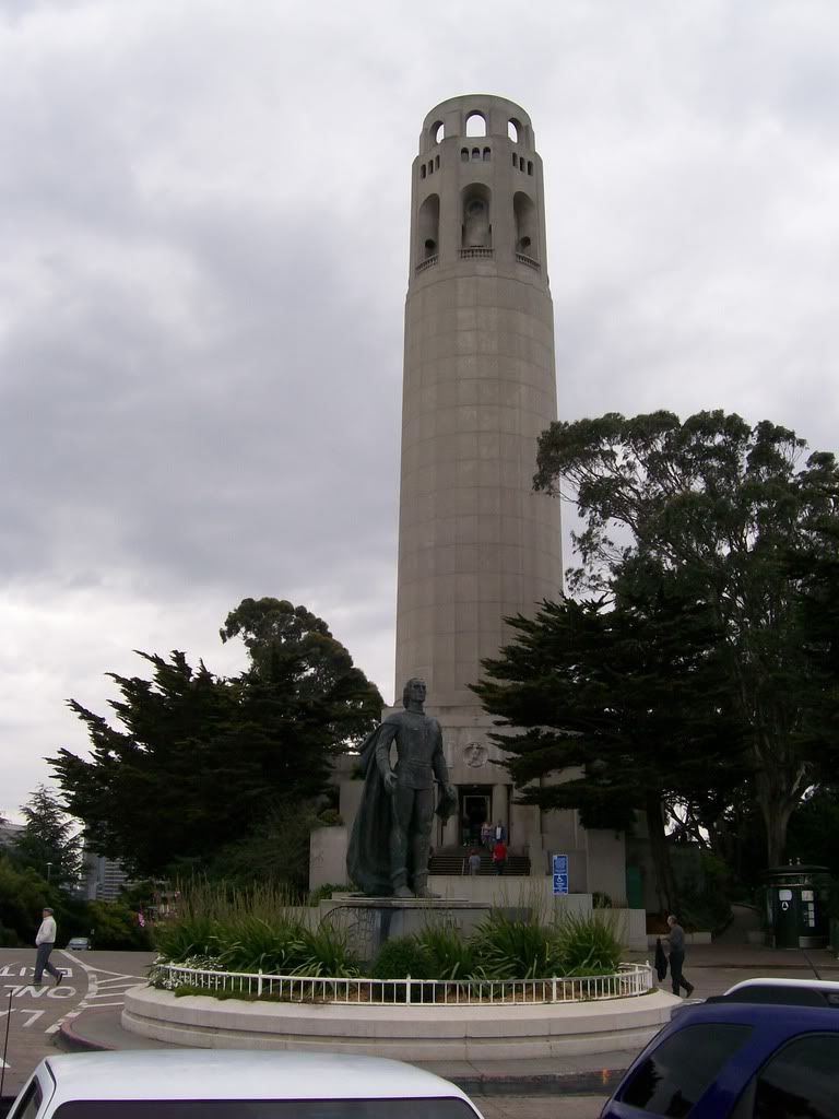
This will be last Sights in San Francisco post. Tomorrow I leave San Francisco. I hope you have found these photos entertaining and that they have not overloaded your bandwidth. Starting next week I will resume normal blogging. Some of the more entertaining presentations at the convention will be blogged.

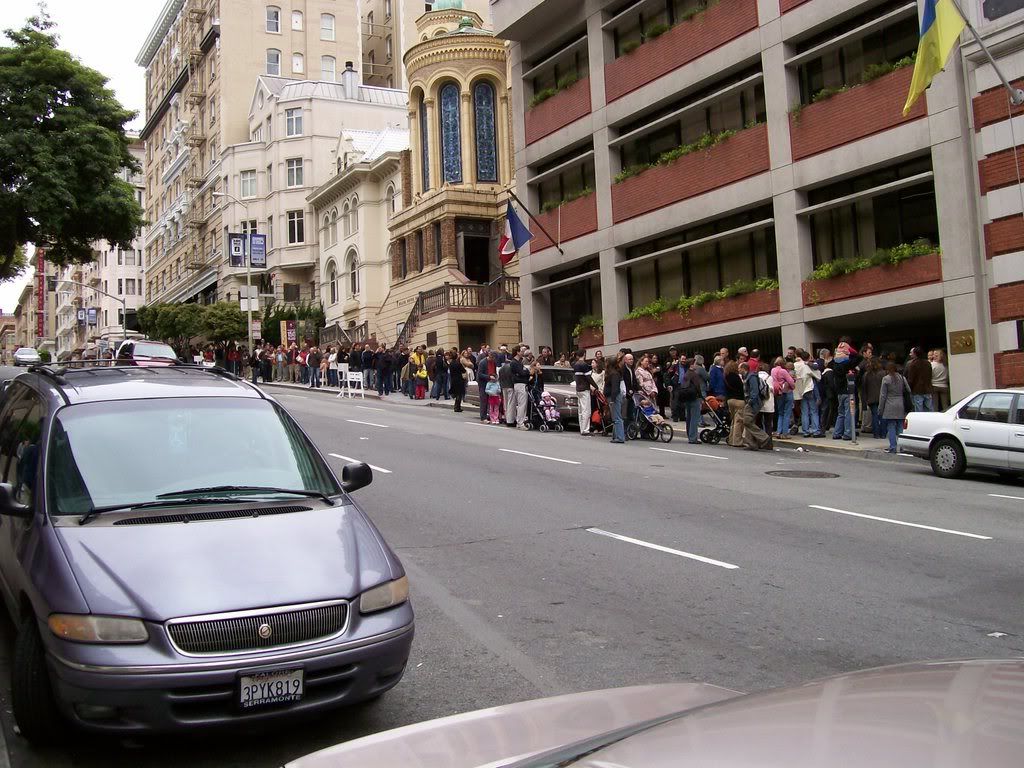
The line for the French Presidential Election - Round 1. Catholicgauze waited in line with French citizens to a) show solidarity with Sarkozy or b) engage in international vote fraud.


In probably one of my smartest moves I had a Chinatown artist make a gift for a friend.

AAG Roadshow

Very Spatial has a series of podcasts covering the AAG so far. Enjoy Friday's which has pieces of Catholicgauze's panel session with fellow bloggers (to be posted later). Be sure to also check out the podcasts for Tuesday, Wednesday, and Thursday.

Friday, April 20, 2007

Thursday, April 19, 2007

AAG 2007 Open Thread

Well, yesterday Catholicgauze meet the very nice people from Very Spatial. Tomorrow I will partake in a panel session on New Media and Geography.

The buzz at the convention in San Francisco right now is the opening speech by Jared Diamond of Guns, Germs, and Steel fame. While I feel it was a good speech over all some believe it was too simplistic, ignored the divide between human and physical geographers (University of Nebraska Lincoln's department split over that divide), and others thought the speech was racists because it ignored non-European scientific developments.

Catholicgauze opens this thread up to any and all comments concerning the AAG thus far!

Sights in San Francisco: Part 2


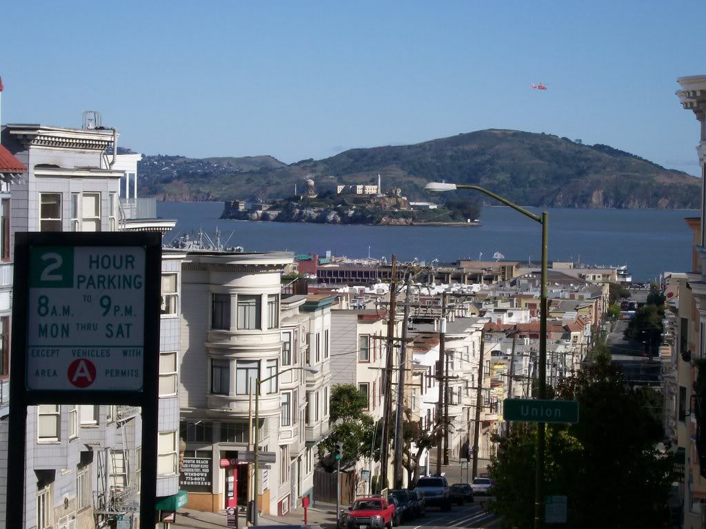
The Rock


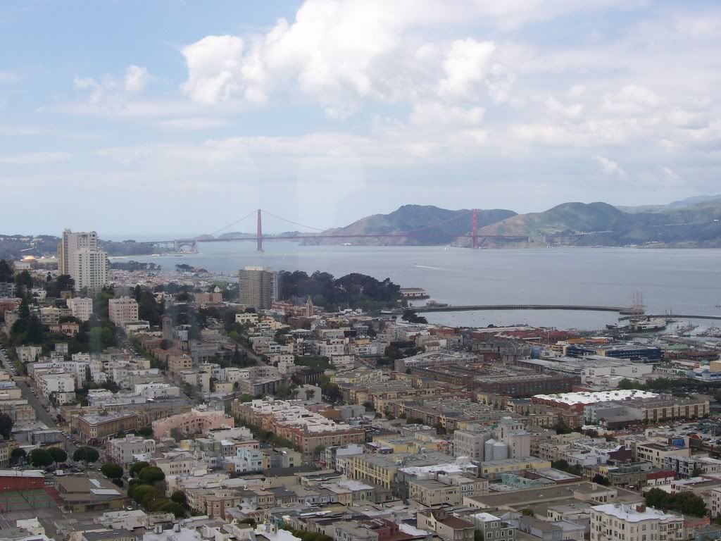
The Bay

Wednesday, April 18, 2007

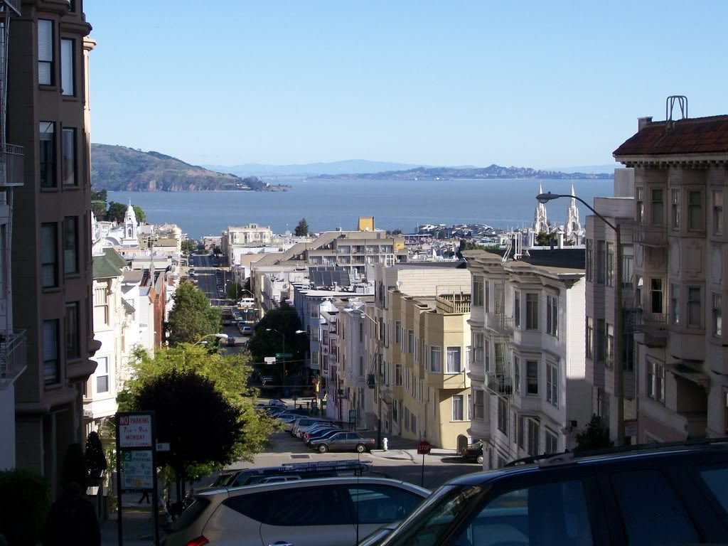
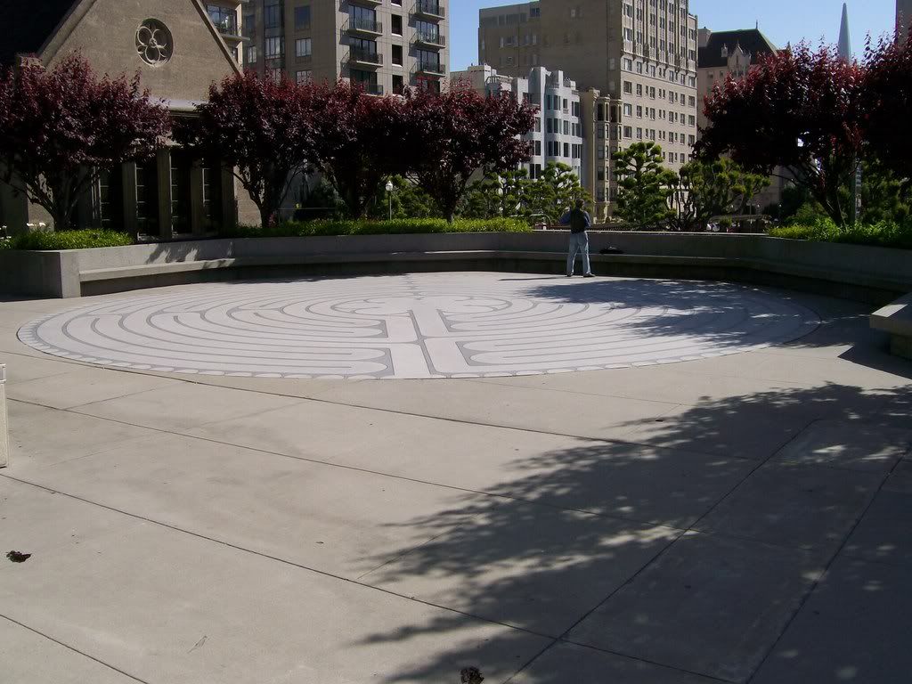
Sights in San Francisco: Part 1

Saint Mary's Cathedral and Spaceship

The Labyrinth in front of the Episcopal Cathedral

The gated entrance into Chinatown

Climate Change and Hurricanes Brief Update

Remember during Hurricane Katrina's aftermath everyone from National Geographic to the New York Times were saying that global warming was causing super hurricanes by heating up the Gulf of Mexico? National Geographic even came out with a cover story saying that 2006 would be the worst year yet on Hurricanes and it only get worse (2006 was below average).

The latest is that global warming may cause a massive decrease in hurricanes. This along with "Global Warming moderates extremes, global warming causes extremes" hypocrisy just shows that we do not fully comprehend what is going on and what can occur in the future. Keep the debates and studies rolling!

Tuesday, April 17, 2007

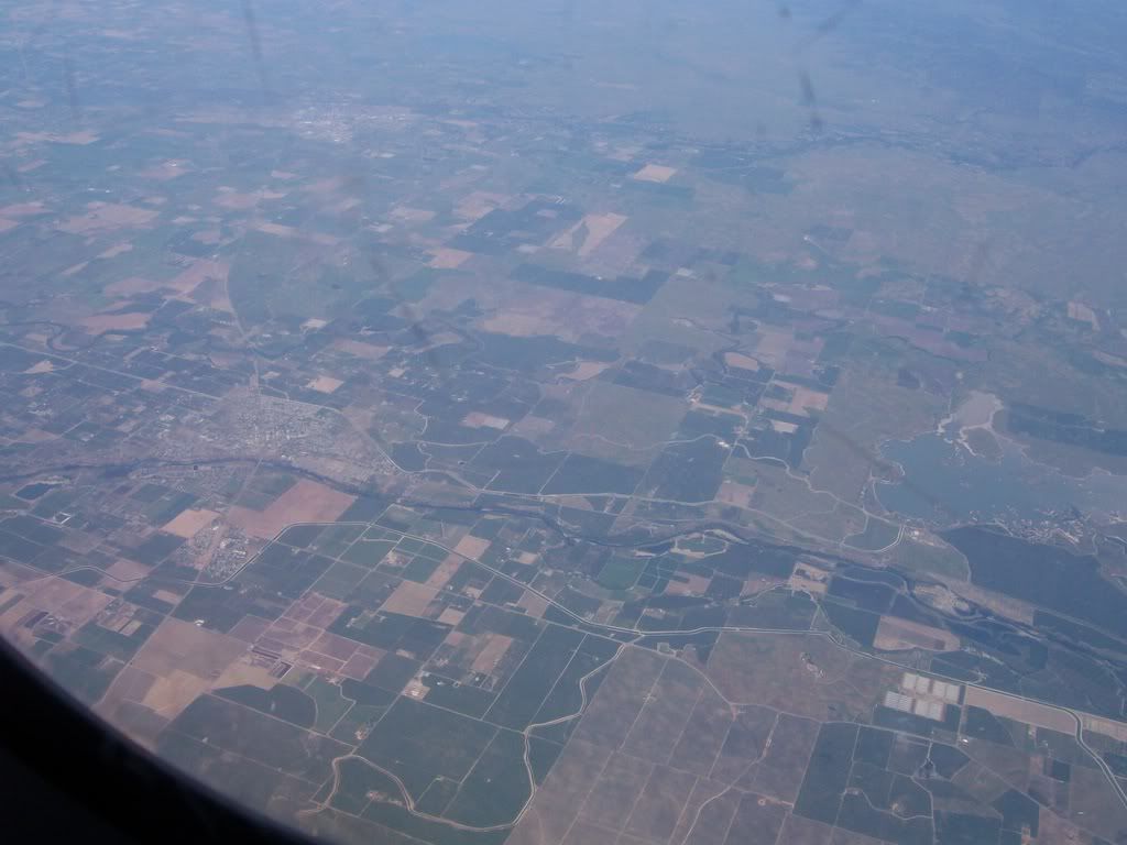
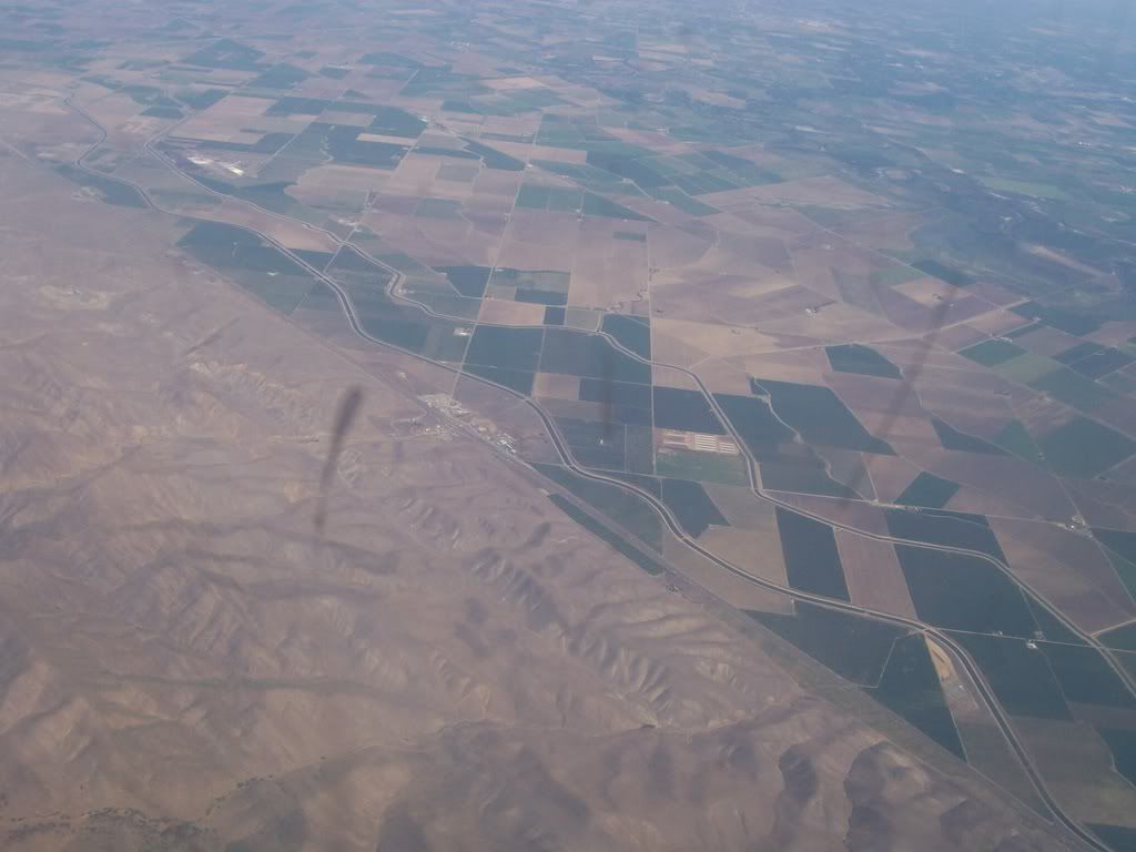
Sights from the Plane: Part 2

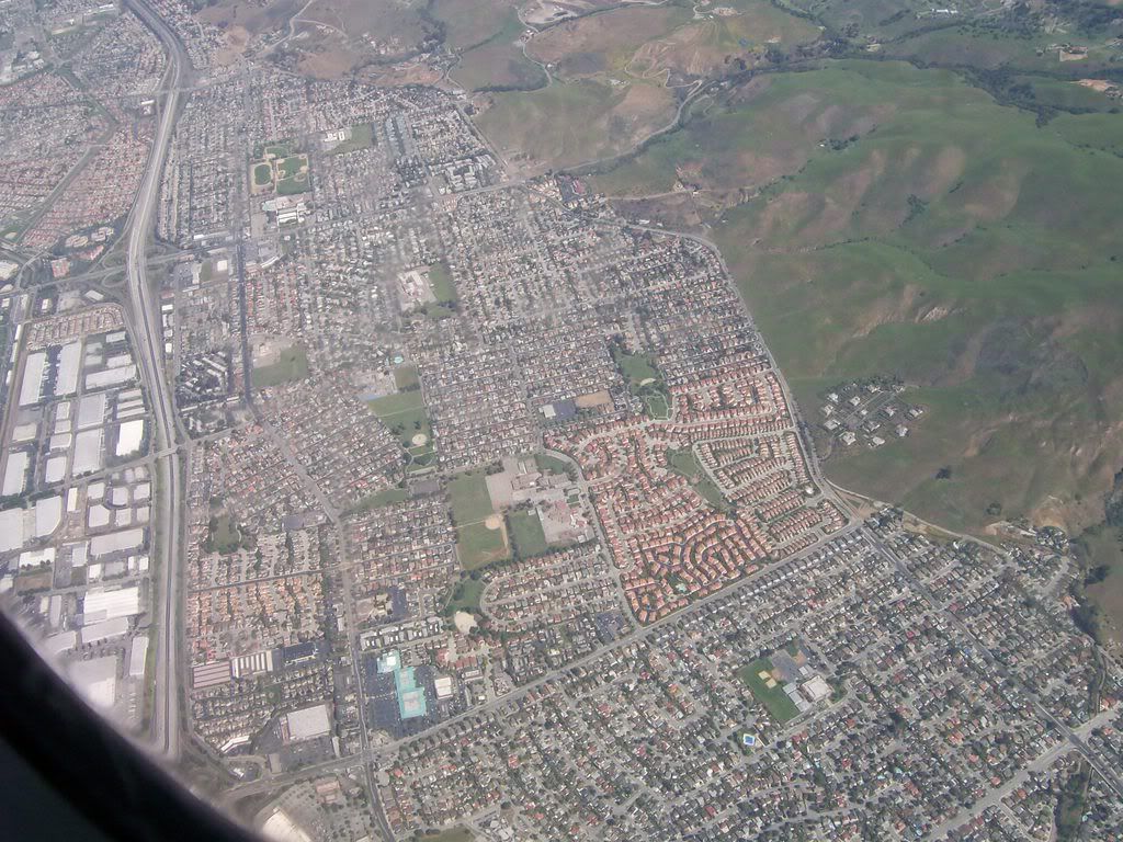
Once a combination of desert and marsh land (an odd mix), the Central Valley has been engineered into a fertile agricultural area


Central Valley meets the Hayward Fault


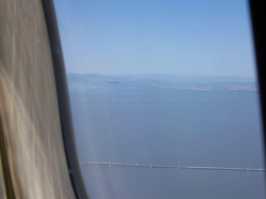
The beginnings of San Francisco


The blurry bay with Alcatraz Island

Geography of School Shootings

This post is dedicated to all those who have died in school violence. Requiescat in Pace.

The latest school violence in Virginia is sickening. The violence occurred in two different parts of campus at different time periods. Washington Post has a map of the shootings on the campus and Virginia Tech offers its own maps of campus (Hat tip: Map Room Blog).

The School Violence Resource Center has mapped out school shootings and stabbings from 1996 to 2006. The problem is clearly no longer centered in the Bible Belt but has spread out nationally. the only area free of incidents so far is the Northwest Interior ranging from the Dakotas to Idaho and adding in Utah and Nebraska.

Monday, April 16, 2007

Sights from the Plane: Part 1


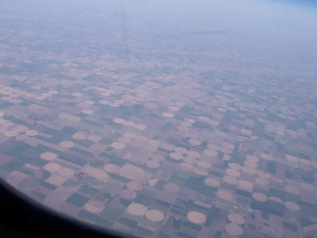
Center Pivot Irrigation on the Ogallala Aquifer


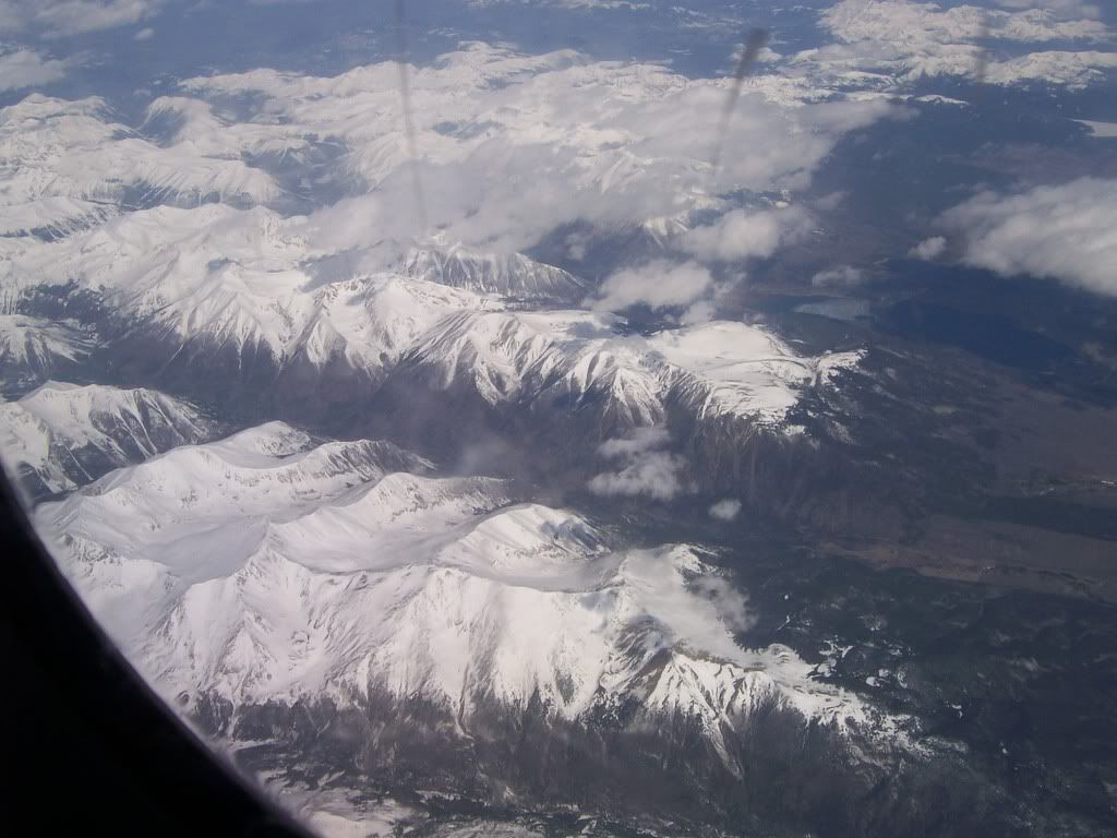
The Rocky Mountains


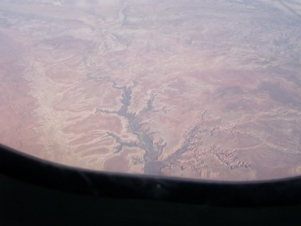
An Eden-like canyon in the Desert West


Yosemite Falls

Geography of Negro League Baseball

Sunday is the sixtieth anniversary of Jackie Robinson breaking the modern color barrier in Baseball.

From the late 1800s to 1947 Blacks who wanted to play baseball were forced into the various leagues which became to be collectively known as the Negro Leagues. The culture of these teams was diverse. Some were simple business adventures that failed, some were exotic fan favorites like the Zulu Cannibal Giants, and others were powerhouses like Chicago American Giants.

At first the heart of Black baseball was in the Deep South. However, teams were spread out from Texas and Oklahoma to the Atlantic Coast. In North Dakota there were intermixed teams which played independently. Many ball clubs were independent and barn stormed across the country looking for teams to play and living day by day. Teams at this time were diverse, one was even managed by the House of David cult.

The 1920s marked a noticeable change in Black Baseball. The two major leagues were the Eastern Colored League and the first Negro National League. The Eastern Colored League was centered in the urban areas between Washington D.C. and Boston. The Negro National League's heart was between the Ohio River valley and the Great Lakes. Black Baseball left the rural South and went to the urban North. This mirrored the Black population's movement known as the Great Migration. Teams went from small, independent teams to teams that were owned by people who also controlled Major League Baseball teams.

Very few teams were west of the Mississippi River, most that were played in cities on the western bank of the river. One notable exception was the Kansas City Monarchs. The Monarchs were one of the most successful and longest running teams in the Negro Leagues. Robinson played for the Monarchs when he was recruited for the Dodgers.

In honor of Robinson and all the others who played Negro League Baseball here is Catholicgauze's map of Negro League Baseball teams. Anyone who has a Platial account may correct information or add teams to the map. It is not to be considered a finished project. The map can also be download for Google Earth.

Sunday, April 15, 2007

Preparing for the AAG

Catholicgauze is all set to go to the Association of American Geographer's annual convention in San Francisco.

Here's Catholicgauze schedule so far:

Tuesday starting at 2:00 PM
Session 1466 "Military Geography and the Global War on Terror"
Room: Mendocino 2 - Hotel Nikko 2nd Floor
Catholicgauze will present his presentation "United Caliphates of Europe: A Geographical Look at Sharia Microstates"

Wednesday starting at 8:00 PM
Geography Bowl
Catholicgauze represents his region with several other teammates in a geographical trivia contest. Can his group, which won last year with different members, repeat? Or will the dreaded George Washington University team repeat?

Friday starting at 8:00 AM
Session 4138 "Spread the word: Podcasting, blogging and the New Media in Geography"
Room: Union Square 15, SF Hilton
Catholicgauze and other bloggers discuss the relationship between new media and geography. There will also be the oppurtunity to ask questions.

This is Catholicgauze's schedule so far. I fly out to San Francisco Monday. Let us all hope it will be a better event than the infamous "Bush League" convention of 2006 in Chicago. So no weather events from Hell, transportation systems from Hell, and no being called a homosexual (yeah, I do not understand it either) by a certain geography professor from Kent State.

Saturday, April 14, 2007

Remembering Tragedy at Ford's Theater

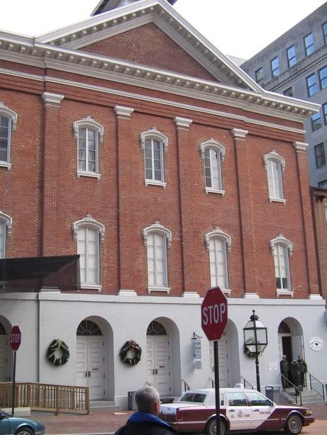
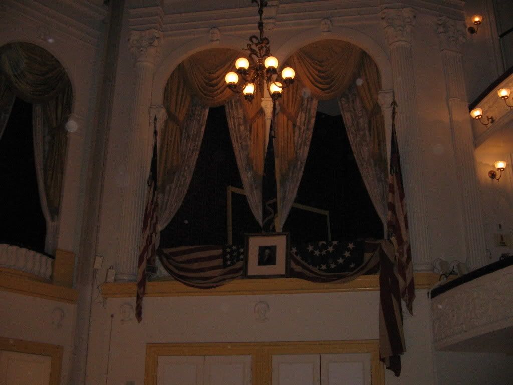
Ford's Theater

142 years ago today President Abraham Lincoln was assassinated while watching a play at Ford's Theater. After the attack Lincoln briefly survived but passed away early the next day across the street at the Peterson House.

Ford's Theater has been the site of many styles of remembrance. After the attack it was purchased by the government and amusing activities. It was rotated between office and warehouse for decades. In 1893 part of the building collapsed and 22 people died in the incident with many more people injured. The former theater's past was constantly forgotten as the building was put to different uses. It appeared that everyone wanted to forget the ills which had occurred there.
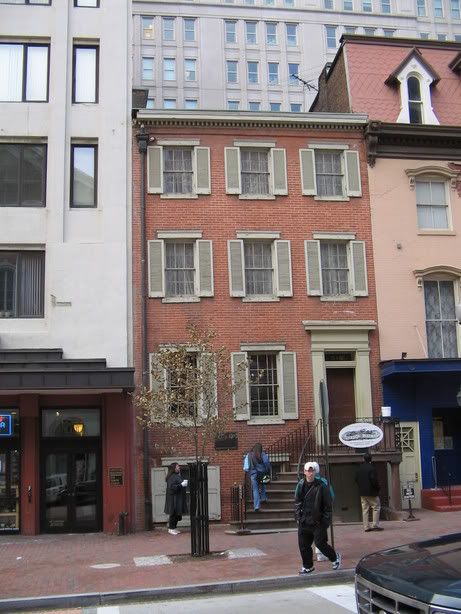
The Peterson House

When Lincoln was murdered he was not a popular president. Therefore there was little remembrance of him on the landscape. As time passed; however, views of Lincoln became more positive and memorialization occurred. In 1896 the Peterson House was federally recognized as "House Where Lincoln Died" and was transfered over to federal control in the 1930s.

Ford's Theater itself remained in disrepair. Attitudes towards the theater changed around the centennial of Lincoln's reign. President Eisenhower authorized federal action to preserve Ford's Theater and congress finally approved funds for the restoration in 1967. Ford's Theater opened up as national historic site in 1968. Plays began to start up again soon afterwards. The first play done was "John Brown's Body" which summed up the emotions of the 1860s.

The Ford's Theater complex shows different styles of memorialization. Peterson's House has a walk-through tour. The tour shows the bedroom with the bed that Lincoln died in. The second main room is the living room where various cabinet secretaries debated and discussed what needs to be done. The house has been frozen in time.

Lincoln's Box

Ford's Theater has a dual nature. The actual theater is kept in a very similar style to the way it was the night Lincoln was assassinated. Lincoln's Box is kept the same with a portrait of Washington hanging just like it was on April 14, 1865. As a tribute to Lincoln the box is closed to the public. Most importantly though, the theater room continues its intended use by still having plays.

The basement; however, has become a shrine to Lincoln. The Olroyd Collection of Lincolniana has donated many pieces of memorabilia of the assassination for visitors to observe. The basement has been sanctified to Lincoln's cult.

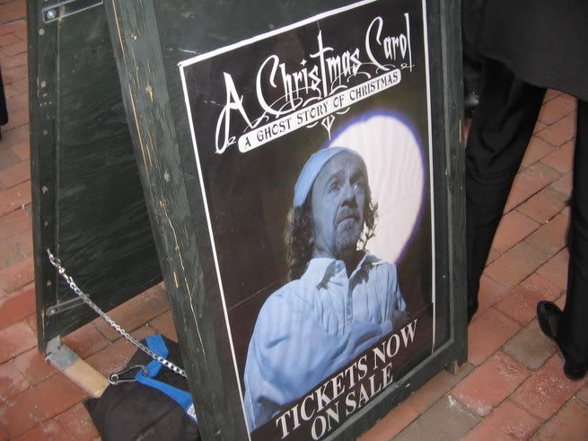
The Christmas Carol is a yearly tradition. Life goes on at Ford's Theater.

Ford's Theater is a marvelous place to visit. It is an island of history, in an archipelago of gentrification, in a ghetto sea. The complex itself has three cultures to it: frozen in time, enshrining, and continued use. Death at the Peterson House, remembrance in the basement, and continuation of life in the theater. Each one in its own way creates a mosaic to remember Lincoln and that horrible Good Friday.

Friday, April 13, 2007

al Qaeda in Iraq wins a battle, loses an ally


Video of the attack on the Iraqi Parliament and aftermath.

The big news today is al Qaeda in Iraq managed to get past security in the Green Zone and launch a successful suicide bomb attack in the cafeteria of the Iraqi Parliament (Arabic website). Two members of parliament were killed along with six others. This is clearly a media victory for al Qaeda. They prove to the Iraqi government that even with the Surge going on that al Qaeda in Iraq and its umbrella organization, the Islamic State of Iraq, is still a force to be reckoned with. It also reminds the rest of the world that the war still ongoing. This feeds war weariness in the West.

This week was suppose to be a great week for al Qaeda. An attack on the hearts of the Iraqi and Algerian governments was meant to signal a tide of Islamists' victories. However, al Qaeda's vicious actions have caused it to lose another key ally. The Islamic Army of Iraq, the largest Baathist terrorist group in Iraq, has denounced al Qaeda in Iraq and has pledged to fight al Qaeda. The Islamic Army of Iraq seeks to return Iraq to a Sunni Baathist dictatorship which rules over all other groups in the country. This is far different from al Qaeda's goal of a global Sunni Islamic state with little concern about Iraq itself. The Islamic Army of Iraq is also upset at al Qaeda's foreign soldiers murdering any Iraqi who opposes al Qaeda on any sort of level.

While in the last few months the media has been suggesting a possible civil war between Sunnis and Shia the situation has drastically changed.

The Shia militias are divided with some now cooperating with the Coalition and Iraqi government while other militias are leaderless and unable amass any significant resistance.

The real internal war is between the Sunnis. In Anbar province, members of the 1920s Revolutions Brigades, a shadowy group which uses non-conventional tactics and avoids attacking civilian targets, and Jaysh Mohammed, Sufi Baathists, united to form the Anbar Salvation Front. The purpose of the front is to drive al Qaeda out of Iraq. The Anbar Salvation Front is not an ally of the United States but is willing to cooperate the Iraqi government. Members of the front realize there can be a political future for the Sunnis in the new Iraq if they neutralize threats like al Qaeda. Sunni clerics have also begun denouncing al Qaeda. al Qaeda has responded by increasing attacks on Sunni civilians and engaging in chemical warfare.

The Islamic Army of Iraq has been pushed over the edge by attacks like this. While the Islamic Army still considers the United States an enemy and has no love for the Iraqi group, anything which can defeat al Qaeda is a good development. In the future the Islamic Army will expect some sort of reward. If they can be rewarded by entering the political process of a multi-ethnic democratic Iraq then the War on Terrorism would see a great victory.

The war in Afghanistan and Somalia have offered clues on how to defeat a fourth-generation (guerrilla) army. The might of the Coalition forces needs the support of local groups. Each day the Islamists lose more of the war with more groups like the Anbar Salvation Front and the Islamic Army of Iraq turning on them.

Thursday, April 12, 2007

Italian now the Official Language of Italy

With issues like illegal immigration and official languages causing controversy in the United States it is a little refreshing in an odd sort of way to see the same problem elsewhere. In a purely symbolic move the Italian parliament has made Italian the official language of Italy. However, opposition from both sides of the political spectrum has broken out.

The Communists on the left have decried the vote saying it is cultural imperialism. They see it as a repeat of the efforts by Benito Mussolini to Italianize the country. This opinion is shared by some rightist regionalists and separatists.

While many people think of Italy as having one nation and culture, that opinion is wrong. In the north there is South Tyrol was long part of the Austria-Hungarian Empire and has German as an official language. If one visits the Verona-area they will notice many of the local newspapers are in German. The Aosta Valley has a large French speaking minority. The Po River Valley including Venice has its own dialect of Italian. The South has Sicily where many inhabitants speak Sicilian, which is its own unique language not derived from Italian. The same holds true for Sardinia where many people still speak Sardinian.

These languages serve to support unique cultures in different regions. Many members of these cultures still resent of what they see as Roman culture and political control rammed down their throats.

The measure passed by parliament does not forbid local languages and is only symbolic. Yet, language is a sensitive subject as it is the blood of culture.

Wednesday, April 11, 2007

Darfur Genocide on Google Earth

The burnt out relics of an unknown Darfur village after an attack by the Islamists Sudanese-backed Janjaweed militias.

Thanks and praise are due to the US Holocaust Memorial Museum and Google for the excellent Crisis in Darfur layer. When one opens Google Earth they will notice that the Darfur region of Sudan is outlined in orange with an icon in the middle. By clicking the icon one can load a collection of layers which provide a multimedia learning experience on Darfur.

Included are markers which one can zoom in on to see destroyed and damaged villages, refugee camps, and multimedia learning tools.

Use to these type of imagery data was reserved for the intelligence community and the power brokers. Now the private citizen who controls the power in a democracy can see and make opinions with the same data.

Now, if only things like this were done for the Kalash, North Koreans, Chinese political prisoners...

Google Earth Library

Google Earth Library is a nascent feature blog on Google Earth. In the past week or so the things featured on the blog have put its quality somewhere over "obscenely great." No simple placemarks are featured on the blog. Instead, high quality overlays and multiple markers are given their due recognition.

Among Catholicgauze's favorite so far are

Google Earth Library joins the hat-tipper Google Earth Blog on the prestigious "Catholicgauze's Reads" sidebar. Be sure to enjoy this up-and-coming blog!

Tuesday, April 10, 2007

Waziristan and Pakistan

Last year I wrote how Pakistan surrdendered control of Waziristan to the Taliban. Since then the Taliban have managed to take Bajaur and are threatening several other agencies. However, with mainstream media attention on Iraq, Iran, and maybe Afghanistan this theater of war is getting little coverage much like the War in Somalia did and still does.

Pakistan hoped local tribes would fight off al Qaeda but instead war has broken out between various branches of al Qaeda, the Taliban groups, and tribes. The alliance system is complex and somewhat hard to understand. The basic breakdown is Uzbek al Qaeda does not get along with Arab al Qaeda and the various groups of Taliban hate each other, too. Put them in the small area of Northwest Pakistan and war breaks out.

It is good that these groups are busy killing each other and not focusing all their efforts against Afghanistan or Pakistan; but the simple fact they are operating openly is a depressing reminder that the situation is not yet under control in the quite war's (Central Asia's) theater.

Pakistan is in trouble. The Taliban has long had support in Pakistan, one of three states to recognize the former Islamic Emirate of Afghanistan. Today the Talibanization of Pakistan is going on. At first it was attacks against the Shia minority in the country. Then it was battles against military police. Now the cultural war has begun with religious groups closing down music shops and threatening women's groups openly in the capital city of Islamabad. The Tourism minister is facing threats because she hugged a man not her husband. Things reached a climax last Friday with mosque calls demanding suicide bombings.

Pakistan's government comprised of military leaders is certainly not what America has envisioned for The Gap. However, it is far better now to have a government fight Islamic fascists a quarter of the time then have a Taliban, or God help us al Qaeda, government with nuclear weapons.

But Pakistan must learn to accept help if it wants to survive. Currently there are restrictions on when Coalition forces can operate in Taliban-controlled Pakistan. If the Surge in Iraq is teaching us anything it is that denying terrorists territory to control and regroup at significantly hurts their war effort. Pakistan must 1) allow for more cross-border operations and 2) fight the cultural war itself showing no mercy to those who seek to destroy it.

Monday, April 09, 2007

Poverty Point

For a good aerial view of Poverty Point try this link to Yahoo! Maps

3,500 years ago Louisiana was the center of civilization in the Western Hemisphere (I will avoid commenting on that fact). Deep within the Archaic era, when the Indian inhabitants of North America were moving from place to place as hunters and gatherers, a group of nomads began to at and build mounds at Poverty Point.

The feature of Poverty Mound are the six concentric rings which form about a two-thirds circle. The circle segments rise to an approximate height of six feet. The mounds were formed mostly by moving clay and a little bit of trash. Some signs of temporary structures have been found in the mounds but not inside the circle the mounds form.

To the west of the circular mound formation is Mound A. Mound A originally rose to a height of 70 feet and was accessed via a ramp. The mound had a commanding view of the circle mounds and the nearby area. Nearby are two other mounds of moderate size. These mounds align close to, but not quite, due north.

Some artifacts have been found at the site which have given rise to the term Poverty Point culture. Objects like fire-cracked clay balls to start boiling water, animal figurines, arrow heads, and soapstone bowls have been found at the site. Some of the material to make the objects come from fairly distant areas fifty to one-hundred miles away.

No pottery has been found at the site hinting that these people were like all other groups in North America at the time who did not know how to make pottery yet.

The site brings into question many of the previously held thoughts about Archaic times. Indians were able to build a complex structure. To do this they had to be sedentary for a long time and have a political power structure of order and monitor the construction. The presence of goods made from distant material implies a trade network and the existance of valued goods. The presence of valued goods quickly leads some archaeologist to believe their was a social hierarchy aka "social inequality." Originally archaeologist thought Archaic Indians were all egalitarians who moved constantly from place to place within a territory.

The site was finished around 2,000 years ago and depopulated sometime afterwards. It was rediscovered in the 1800s by Louisianans who promptly decided to put a road right in the middle of it. This was the time before professional archaeology and any possible data finds were lost. The site is currently a State Historic Site and National Historic Place. In 1988 Congress authorized Poverty Point National Monument expecting Louisiana to hand it over to federal control. Louisiana has decided not to and the site is in an odd limbo state.

For more information on Poverty Point

Sunday, April 08, 2007

Easter Sunday 2007


He is risen

Hipkiss Map Collection

While it has long been noted by blogs like The Map Room, TDAXP has directed me to the marvelous Hipkiss' Scans of Old Maps. Maps range all the way from Bible maps, old world maps from the Age of Discovery, to maps of Swiss lakes. There is even an RSS feed to stay in touch with any updates to the collection.

Saturday, April 07, 2007

Easter Geography VII: Every Bible Location on Google Earth

OpenBible.info is THE site on biblical neogeography. Its Geocoding webpage is to die for.

It has Google Earth files locating all the identifiable places in the Bible for the whole Bible, by individual book, or by individual chapter! The files can also be viewed in Google Maps by selecting the preview option.

Another way to view the sites is by alphabetical order in the Bible Atlas page. Here each site is linked to the Bible passage where it is mentioned.

Finally, there is an overlays page which features maps of old and modern Jerusalem which can be imported into Google Earth or viewed online.

Job well done OpenBible.info! (Hat tip: Google Earth Blog)

Friday, April 06, 2007

Easter Geography VI: Via Dolorosa Map

In honor of Good Friday I link to this interactive map of the Via Dolorosa and the Stations of the Cross.

Tax Burdens by State

With Income Tax Day coming on April 16 I think these maps may be of interest.


The Tax Foundation has released a report (PDF) which includes a map of local and state tax burdens by state. Three center cores of low-tax burdens exist. In the North Central part of the nation including the Dakotas, Montana, and Wyoming; the Interior South, and the Greater Texas area. New Hampshire is an unique outlier of New England as it the lone economically libertarian state in a sea of New England economic liberalism. On the plus side, Massachusetts is now moderate compared to most of its neighbors and it is no longer the Taxachusetts it once was.


The second map deals with Tax Freedom Day. This is the estimate date that it takes from January 1st just to work off the amount of taxes due. Once again Greater Texas and the the Interior South are places with low tax burdens. South Dakota is all that remains of the North Central core. Alaska manages to have an early date along with the lowest tax burden.

Finally, the Tax Foundation offers tax breakdowns by state. This offers a wealth of information of each state with local, state, and federal tax information.

Thursday, April 05, 2007

Noctilucent Clouds

Over 50 miles above the earth there are clouds which shine at night. These clouds are known as noctilucents. The clouds shine because they are so high up that they reflect the sun light which still shines at that altitude.

The first reported sightings occurred right after the Krakatoa eruption of 1885. For a while they were reported near the poles but recently the clouds have been sited further and further away from the poles. Some have made the claim the clouds' advancement is tied with climate change.

The proof for this is lacking in amount. Krakatoa caused the end of the initial wave of warming after the Little Ice Age. However, no change in amount or position seems to have been noticed during the cooling spells of the early 1900s and 1940 to 1975 trend. Same goes for the warming trends between those periods. Only recently have the noctilucent clouds been noticed so far away from the poles.

For more information on Noctilucent clouds there is the NLC Observers' Homepage were one can report and view reports of the clouds. There is also NASA's Noctilucent Clouds in the Classroom which offers resources to learn and teach with.

Wednesday, April 04, 2007

Geography and Song: Waltzing Matilda

Waltzing Matilda is the song of Australia. While not the official nation anthem it is the song which can stir up patriotic feelings in any Australian.

The song is one of the rural nature of Australia. It describes one labor giving up everything to remain free. This appeals to many Australians who take pride in the rogue past of the island nation. The villains in the song are the land owner and the police who seek to limit the labor's freedom of movement and action.

The song has several versions of lyrics. One of the most common versions come from the Waltzing Matilda Centre. (To listen to another version go to the Centre's song page)

Oh there was once a swagman camped in the billabongs,
Under the shade of a Coolibah tree;
And he sang as he looked at the old billy boiling,
'Who'll come a-waltzing Matilda with me.'

CHORUS:

Who'll come a-waltzing Matilda, my darling,
Who'll come a-waltzing Matilda with me.
Waltzing Matilda and leading a water-bag,
Who'll come a-waltzing Matilda with me.

Up came the jumbuck to drink at the waterhole,
Up jumped the swagman and grabbed him in glee;
And he sang as he put him away in his tucker-bag,
'You'll come a-waltzing Matilda with me.'

CHORUS

Up came the squatter a-riding his thoroughbred;
Up came policemen - one, two and three.
'Whose is the jumbuck you've got in the tucker bag?
You'll come a-waltzing Matilda with we.'

CHORUS

Up sprang the swagman and jumped in the waterhole,
Drowning himself by the Coolibah tree;
And his voice can be heard as it sings in the billabongs,
'Who'll come a-waltzing Matilda with me?'

CHORUS

The use of Australian words ties the song with Australian culture. However, to many non-Australians the words can muddle the meaning.
  • A swagman was a laborer who wandered from town to town across Australia looking for work.
  • A billabong is an oxbow lake. It litterally means "dead creek." The term billabong is now used as a brand ware of swimware which plays up its Australian roots.
  • Waltzing Matilda means to wander around looking for work while wearing a Matilda, a bag to keep all of one's possessions.
  • Jumbuck is slang for a sheep. It comes from the Aborigines who thought sheep looked like clouds with a similar name. Now days the Jumbuck name is used as an Australian-based moblie phone service company and a popular car in Australia.
  • Tucker bag is a bag for food
  • The Squatter had legal rights to randomly squat on land in Australia. He uses troopers, police, to enforce this right to limit land use. Even today land seizures are controversial in Australia. In the Men at Work music video "Down Under" squatters are shown as killing Australians right to roam.
  • The Coolibah tree is a type of Eucalyptus tree. Coolibah is also a the name of a wine made in Australia.
The song is very popular in Australia. The "libertarian" nature of the song has always been its downfall though with the elite. It is unlikely that the government would make a song about a wandering worker and is oppressed by the legal establishment the national anthem. However, to many Australians the song captures their feelings about the right to be free perfectly.

Tuesday, April 03, 2007

Easter Geography V: Holy Land During Christ Google Earth Map

This overlay is for Google Earth. It shows the Holy Land (aka Israel aka Judea aka Palestine) at the time of Jesus Christ and was taken from the Smith Bible Atlas. It can be directly download here for Google Earth or viewed online (or view the high-quality version of 3.1MB)

The legend is cut off so I will explain the colors:
  • Red is under direct Roman control. The center-piece is Judea which was governed by Pontius Pilate.
  • Light Red/Pink is also under direct Roman control. It is the land of Phoenicia.
  • Green is Philistia under Roman control. Once the land of the Philistines.
  • Gold is under the control of Herod Antipas. This includes Galilee and Perea.
  • Brown is Decapolis - a league of frontier Roman cities. It is one of the few areas where Jesus went where Jews were in the minority
Monday, April 02, 2007

Upcoming First Round of the French Presidential Election

Update: The first round is over. Click here for analysis

The lines are drawn and it is close. The first round of the French Presidential election of 2007 has turned into a competition against three viable candidates. Up to date poll results are available here.

The three candidates offer unique things to France.

SĆ©golĆØne Royal has had a meteoric rise to the top, which she quickly wasted and is now struggling to remain second. While Royal became popular on her tough-on-crime approach she has lost support for her far left opinions on economic reform and even foreign policy; not to mention bad campaigning with numerous blunders. She managed to obtain the Socialist Party's primary nod with the help of her partner and father of her children who is also the head of the Socialist Party.

Nicholas Sarkozy is the primary candidate for the political right. Sarkozy, Sarko to his friends, has been noted by this blog for his tough-on-crime and pro-American politics. Many French are worried though about his economic reforms which would privatization many things the French have relied on with their 35-hour work week.

FranƧois Bayrou leads what is left of the center party Union for French Democracy. In the past the Union was allied with Chirac's and Sarkoy's Union for a Popular Movement. However, political disagreements and prodding from Socialists have convinced Bayrou to run for president. Bayrou can best be described as Chirac, the current president, the sequel. At first it was hoped by some that Bayrou would divide the right and allow Royal an easy victory. However, Bayrou has been rising at the cost of Royal.

Sarkozy is for all purposes guaranteed a spot in the second round. The real race in the first round is between Royal and Bayrou. The outcome will be mixed for the Socialists either way. If Royal beats out Bayrou for a shot at the second round, she needs to campaign much harder if she wants to defeat Sarkozy. At this point in time Sarkozy would defeat her in a close race. On the other hand if Bayrou beats Royal, then the Socialists can hold their nose for another five years and vote with the moderates and elect Bayrou. He would be a centrist president and keep the status quo (which is not favorable to the Socialists).

The American administration is hoping for Sarkozy to win. With Sarkozy in power they hope France and therefore the European Union will be much more open to cooperation on America's terms. However, Democrats like Howard Dean have met with Royal and voiced there support for her. If the Democrats in the future can take the White House with Royal as President of France, then cooperation may exist on Europe's terms.

Sunday, April 01, 2007

Easter Geography: Part IV

For last year's Easter Geography post click here


Click to Enlarge

The above are religious locations in Jerusalem. The red line is the border between Israel proper and its territory the West Bank.

Labeled are
Happy Palm Sunday

Google Blasted for New Orleans Imagery

Its on the news and blogs, Google has updated its imagery to include pictures of New Orleans before Hurricane Katrina.

This has upset a vast amount of people. The House Committee on Science and Technology's subcommittee chairman went so far to say that Google was doing an injustice to storm victims. Others have said Google was involved in a conspiracy to exaggerate the recovery effort.

Google in turn has said the imagery update was a standard procedure. The updated imagery is of higher resolution and quality. Right after the Katrina Hurricane, Google Maps offered a "Katrina" layer which should flood damage days after the levees broke.

The uproar shows how successful Google has been with their Maps/Earth tools. It shows how popular and used the tools are. The news also shows that changes in Google's programs are met with the same resistance that changes in Star Trek/Star Wars/Battlestar Galactica are.